 |
| View on the way up Bauer Benchmark. |

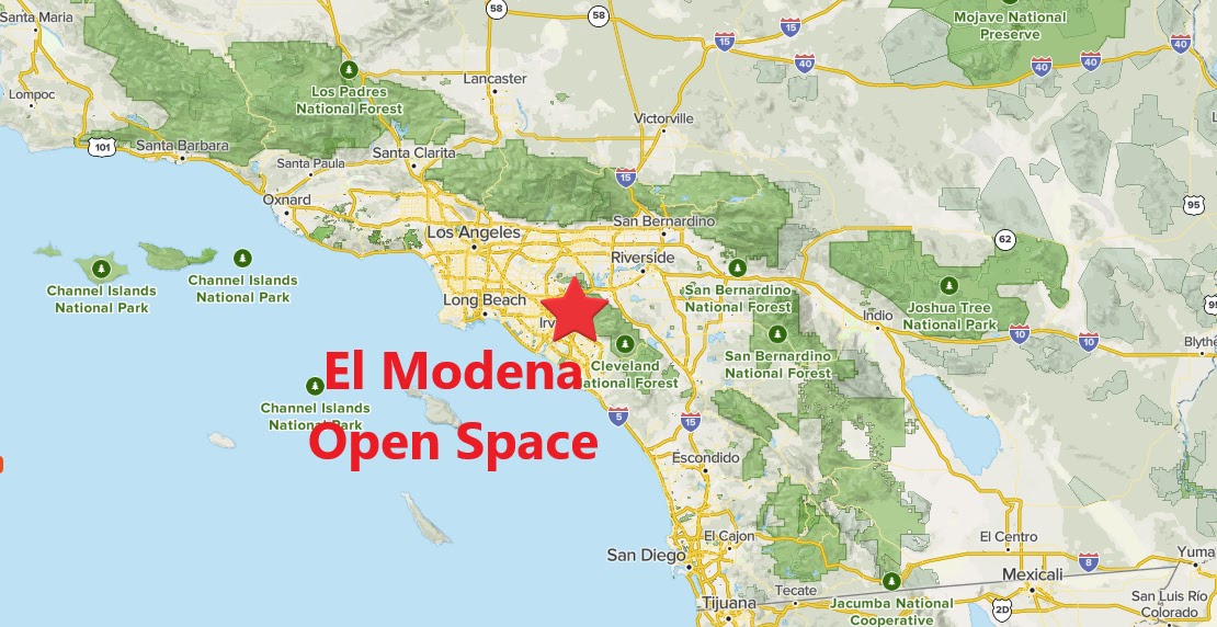 |
| Southern California Map. |
 |
| Driving Map. |
 |
| Parking Map. |
Trailhead coordinates: 33.77891°N, -117.8039°W.
Summary
Whatever open spaces are preserved and trailed in suburban Orange Country are available for exploration. Some of these places charge fees, but there is no fee at El Modena Open Space. There is also a handful of hills to visit along the way. When starting at Encanto Pl., a signed starting point is the beginning of a loop through the hills. Bauer Benchmark is visited first. The trail climbs sharply nearly right off the bat, but it is a very short climb. The actual benchmark sits on top of what is the highest point of the hike.
Hiking Stats:
 |
| Hiking Map. |
Whatever open spaces are preserved and trailed in suburban Orange Country are available for exploration. Some of these places charge fees, but there is no fee at El Modena Open Space. There is also a handful of hills to visit along the way. When starting at Encanto Pl., a signed starting point is the beginning of a loop through the hills. Bauer Benchmark is visited first. The trail climbs sharply nearly right off the bat, but it is a very short climb. The actual benchmark sits on top of what is the highest point of the hike.
 |
| Bauer Benchmark. |
After leaving the high point, the hike naturally goes downhill from there. Along the way, there are two bumps of note. The first is Peak 686, which on my visit featured rocks placed into ground art. The next was Peak 620, which overlooked the neighborhood to the south. The trail bends back to Canon St, where the hike turns into an urban walk on the sidewalk. This is the least enjoyable part of the hike, but at least it parallels the hills along the way.
 |
| Peak 686. |
A cone shaped peak sits on the other side of Canon St. This is Peak 800.
When able to cross, I picked up a trail that gradually went up its side. When closer to the top, a summit use trail went the rest of the way. As expected, good views are had from the summit. From there, I returned to Canon St and wrapped up the loop by returning to the parking area.
 |
| Peak 800. |
 |
| Summit of Peak 800. |
Video:Simulated Hike:


No comments:
Post a Comment