 |
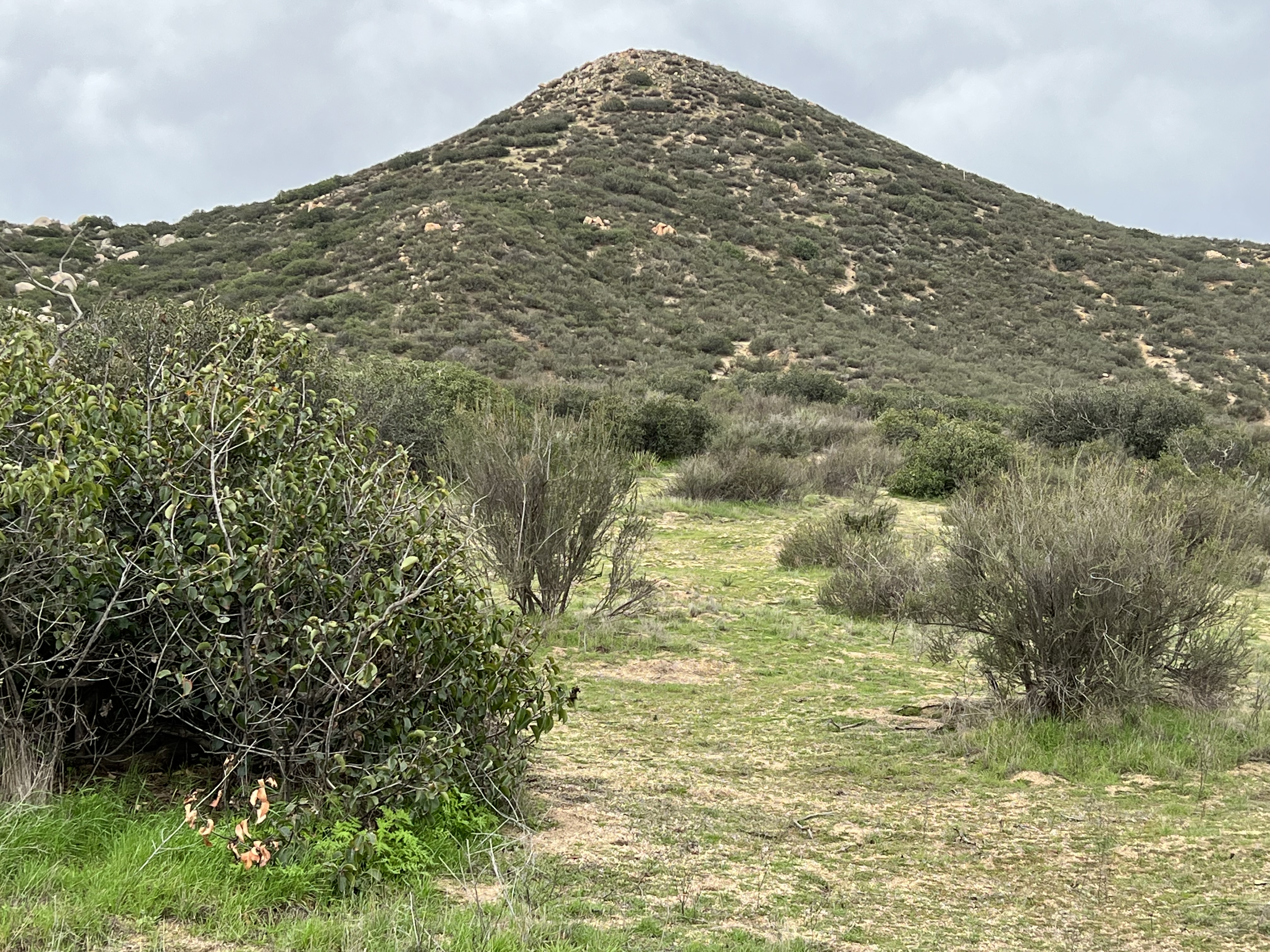
| Starting out by crossing a field of least resistance. |

 |
| Southern California Map |
 |
| Driving Map. |
 |
| Parking Map. |
Parking coordinates: 33.48475°N, -116.878°W.
Summary
While on my exploratory mission into the Inland Empire, I made sure to stop by this one. To start the hike, I parked in a pullout off Villegas Rd and utilized a series of use trails to reach the summit. On the way up, I found a good summit use trail coming from the east. This trail connects with Sage Rd at a wide turnout, thus making it a better starting point than the one I chose. That's the way it goes sometimes while on exploratory missions with no previous visitor data to work with.
Hiking Stats:
 |
| Hiking Map. |
While on my exploratory mission into the Inland Empire, I made sure to stop by this one. To start the hike, I parked in a pullout off Villegas Rd and utilized a series of use trails to reach the summit. On the way up, I found a good summit use trail coming from the east. This trail connects with Sage Rd at a wide turnout, thus making it a better starting point than the one I chose. That's the way it goes sometimes while on exploratory missions with no previous visitor data to work with.
 |
| Approaching the summit. |
Regardless of where the hike begins, the elevation gain will be the same. It's just more likely it will be a clearer pathway to the summit if beginning from the recommended parking area on Sage Rd. The summit has a wired up cross on it with some decent views to enjoy. The descent is quick and steep, making for a nice short outing. In my case, this was simply hike #2 of 3 on the day. Instead of the name "Roundtop", I've seen it listed as "Round Top", which is probably the proper way to identify it, but that's just my best guess.
 |
| On the summit. |
Video:Simulated Hike:


No comments:
Post a Comment