Purpose of the site

This blog will detail 1,000 video hikes in Southern California. By Southern California, I am drawing a line from San Luis Obispo to the Nevada Border. Anything south of that line will be declared "Southern California". In a way, it is a personal challenge to do so many hikes. Mainly, however, it is my way of showcasing how many hiking opportunities there really are right in our own geographic back yard. As a blog, it serves as a companion piece to my Youtube channel "1,000 Hikes in So Cal". It is also a work in progress, as I don't actually have 1,000 edited videos completed. This will take effort for quite some time before it is declared done. Even then, there will still be more out there. Here's to hiking and all the positive effects it has had on my life...and possibly yours!

Showing posts with label Desert. Show all posts

Sunday, November 6, 2022

#155 Keys Peak (via Indian Cove)

Entering the wash on the Boy Scout Trail.
Southern California Map.
Driving Map.
Overall Hiking Totals:

Hiking Map.
Parking coordinates: 34.08261°N, -116.1909°W.
Summary
The Boy Scout trail goes from Indian Cove to Park Road inside of Joshua Tree National Park.  Therefore, there is more than one way to get to Keys Peak.  I do prefer the route from Indian Cove, though.
The canyon walls begin closing in.
Not only is it fee free from that starting point, but the hike is more memorable.  From Indian Cove, the trail slides into a wash, passes along some tight canyon walls, then elevates to the Joshua Tree Plateau.  After that, there is still a peak to climb.
Leaving the trail toward Keys Peak.
Since there are no signs pointing out Keys Peak, I referred to hiking apps on my phone to assure me that the giant rockpile I was looking at was actually the one considered to be Keys Peak.
On the summit.
As the trail began passing the peak on the west side, I left the trail and walked over to its base.  From there, I carefully worked my way up and through the boulders toward the summit.  At the top, I found a summit register, which certainly alleviated whatever doubts I had regarding whether or not I was climbing the right peak.
Summit benchmark.
Great views appear in all directions overlooking the canyons I climbed, the other peaks to the east, and also the Joshua Tree Plateau.  After a long pause at the summit to soak it all in, I carefully descended and returned back down the canyon.  On the way back I passed Mount Mel.  I considered adding it to the hike, but decided that I would come back sometime and give the Mount Mel hike its own day, while also exploring Indian Cove more closely.
Passing below Mount Mel.
Video:
Simulated Hike:

Saturday, November 5, 2022

#154 South Park Peak & High View

Looking up toward High View.

Southern California Map.
Driving Map.
Overall Hiking Totals:

South Park Peak Hiking Map.
High View Hiking Map

Parking coordinates: 34.0786°N, -116.3997°W.
Summary
This hike is one of the shorter ones, but worthy of its own write-up.  Much like the Warren Peak hike, this one starts at Black Rock Campground, although at a different trailhead. The trailhead sits at the end of South Park Road, in a relatively small parking area. 
Approaching the summit.
A single loop hike can be formed to summit both South Park Peak and the overlook known as High View.  I completed this one as an add-on hike to the area after completing the Warren Peak - Panorama Loop hike.  It was too convenient to ignore, especially when I had quite a bit more to give in my energy tank.
On the summit of South Park Peak.
I started the hike going north in a counterclockwise direction to reach South Park Peak.  The early steps after leaving the parking lot was the only point where there was a steep section (only a few steps), the rest of the way was easy going.  It wraps around the east slope of South Park Peak for some good views over the town of Yucca Valley.  On the summit sits a bench and a summit register.
A Joshua tree archway.
I looped down the west slope back to the parking area, where I continued on the Hi-View Nature Trail toward High View to form a second loop.  This too is a short and easy climb to a nice overlook of the area.  I again continued down the opposite slope, then eventually back to the parking area, which was visible the whole time.  Short and sweet, yet still there are a few other hikes in the area that can also be added on for the day.
View from High View.
Video:
Simulated Hikes:          South Park Peak:
High View:

#153 Warren Peak & Panorama Loop

A lone Joshua Tree and Warren Peak.

Southern California Map.
Driving Map.
Overall Hiking Totals:
Hiking Map.
Parking coordinates: 34.05513°N, -116.40718°W.
Summary
The hike begins at Black Rock Campground, which has no fee for day-hikers to visit. Warren Peak is a hike that I had completed several times from this starting point. 
Warren Peak.
However, including Panorama Peak to the hike makes this a much better experience.  So instead of just going out an back to Warren Peak, the Panorama Peak Loop is quickly accessible along the way.  
On the summit of Warren Peak.
Warren Peak has great views over the northwest part of the park to the south, as well as the town of Yucca Valley to the north. I pondered for a bit on the conical summit before returning the wash, where the Panorama Peak junction is accessed. 
Heading up the Panorama Loop.
The hike gradually climbs up a ridge to its high point at Panorama Peak.  As the name suggests, the views are good up there. 
Summit view toward Yucca Valley.
After the high point, the trail loops back down to the wash, where it then becomes a sandy descent back to the parking area and campground.  This may be the best hike in the Black Rock area, although there are certainly more to choose from.  I took the time to give nearly each its own day.
Viewing Warren Peak on the way back.
Video:
Simulated Hike:

Saturday, May 28, 2022

#121 Chaparrosa Peak

Is a 4-trunked Nolina good luck, or is that only with clover?
Southern California Map
Driving Map.
Parking coordinates: 34.1495°N, -116.5639°W.
Hiking Stats:

Hiking Map
Summary
While on a holiday weekend, I had the opportunity to venture out to the desert. This was my chance to revisit a place that I had not been to for a few decades (which has been a recurring them of mine, as of late). From just outside of Pioneertown is an area known as Pioneertown Mountains Preserve.
Approaching Chaparrosa Peak.
Within the preserve is Chaparrosa Peak and a hike that loops the preserve. I managed to combine both into a single hike. 
The area is a boulder hotbed.
There is ample parking in two separate lots. From the upper lot, I began the clockwise loop. In less than halfway through the loop, a summit use trail breaks off and ascends Chaparrosa Peak. There is nothing much on the summit, but there are some decent desert views and some volcanic rocks. 
Summit benchmark.
After the Peak, I returned to the loop and proceeded clockwise. While dropping into the Canyon, the surrounding landscape developed a unique feel. The Canyon floor is overgrown with thick water thriving desert foliage along the creeks.
Passing through the canyon "jungle".
The trail requires no bushwhacking as it cuts right through it, forming arbor tunnels. It hasn't lost it's Lustre over the years., it is still one if my favorite desert hiking options. 
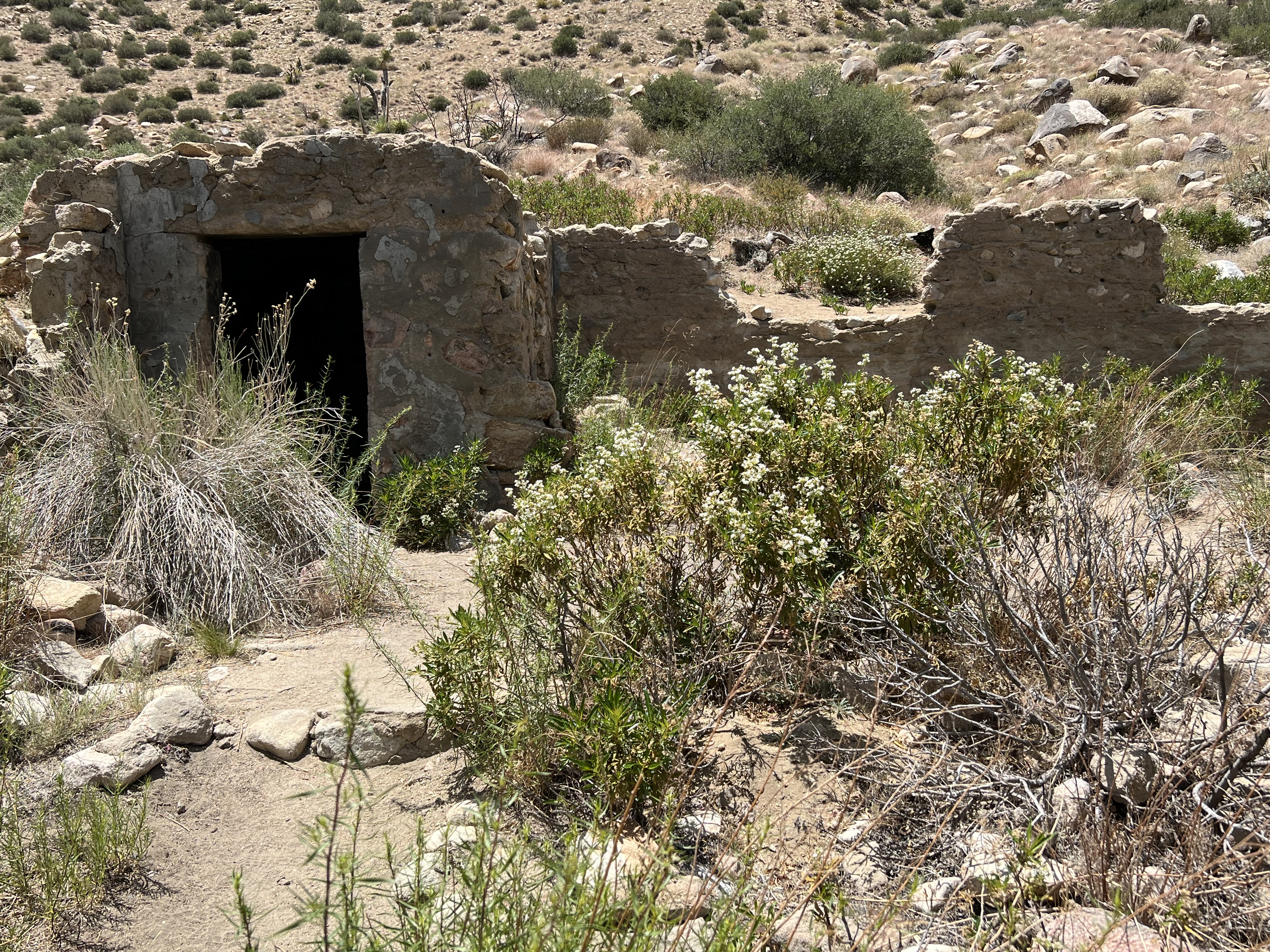
Cabin ruins.
Video:
Simulated Hike:

#159 Guatay Mountain

Looking up the side of the mountain. Southern California Map. Driving Map. Overall Hiking Totals: Hiking Map. Google Maps Trailhead Link Par...