This blog will detail 1,000 video hikes in Southern California. By Southern California, I am drawing a line from San Luis Obispo to the Nevada Border. Anything south of that line will be declared "Southern California". In a way, it is a personal challenge to do so many hikes. Mainly, however, it is my way of showcasing how many hiking opportunities there really are right in our own geographic back yard. As a blog, it serves as a companion piece to my Youtube channel "1,000 Hikes in So Cal". It is also a work in progress, as I don't actually have 1,000 edited videos completed. This will take effort for quite some time before it is declared done. Even then, there will still be more out there. Here's to hiking and all the positive effects it has had on my life...and possibly yours!
The hike to Twin Peaks is one of the more difficult hiking options available from Angeles Crest Highway. The trail starts on the Waterman Mountain Loop Trail, but breaks off toward Twin Peaks along the way.
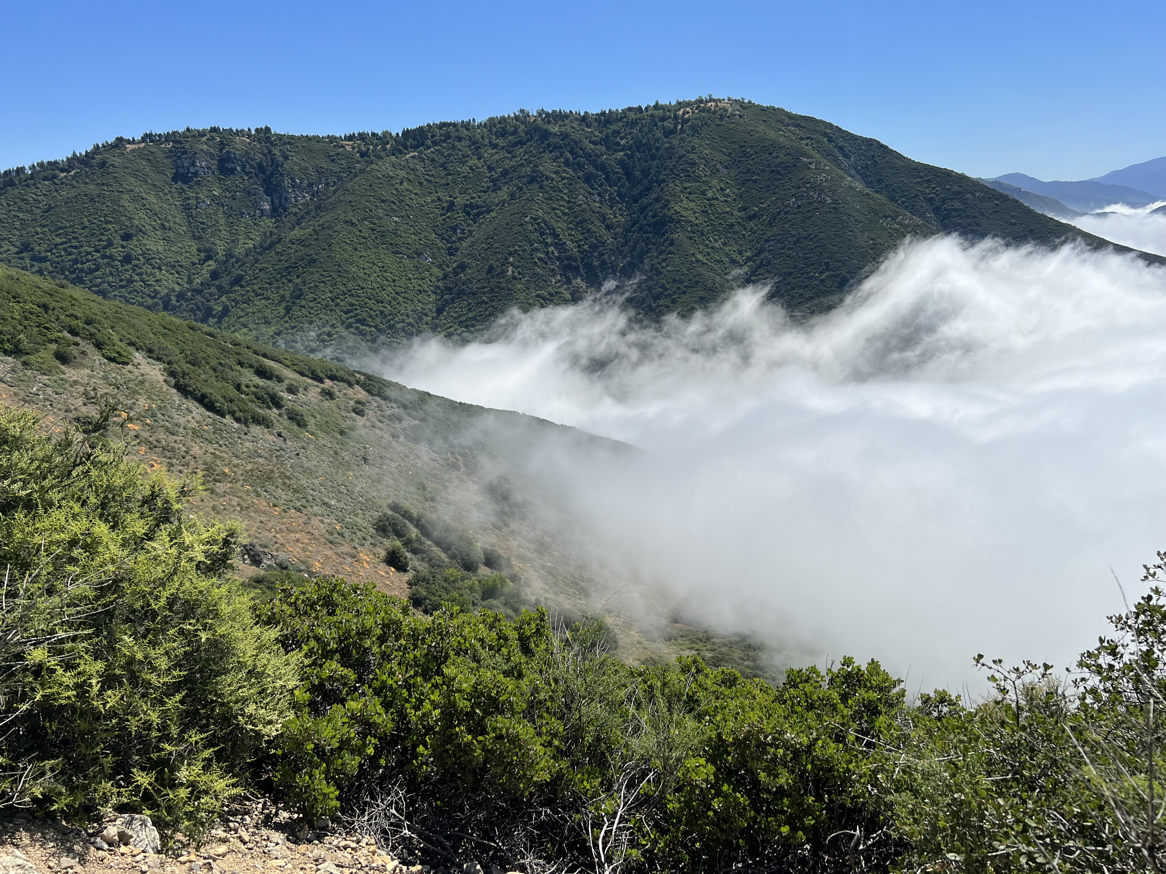
Hovering above the marine layer.
The trail drops about 1,000 feet to a saddle between Mount Waterman and Twin Peaks. The climb begins steeply up toward East Twin Peak. This is the higher of the Twin Peaks. I paused several times to catch my breath along the way. Once on the summit, there are views down into the San Gabriel Wilderness and West Twin Peak.
On the summit of East Twin Peak.
While partially climbing back down, I then diverted over to West Twin Peak. This is a lesser visited summit, but I was gratified to be there, since this was my first visit to it. The views aren't quite as expansive, but there is a good view toward East Twin Peak.
View of West Twin Peak.
After signing the summit register, I descended back to the saddle. From there, the most difficult part of the hike begins. Although I just climbed two peaks, I needed to maintain enough energy to elevate back to the trail on the eastern slope of Mount Waterman.
View of East Twin Peak from West Twin Peak.
For me. this was a tough and slow 1,000 foot elevation climb. However, once I reached the Waterman Trail, it was pretty much downhill all the way back to Angeles Crest Highway.
Summit of West Twin Peak.
As always, it is an exceptional feeling of accomplishment when rounding the corner and spotting my vehicle.
Icehouse Canyon is the gateway to some of the highest peaks in the San Gabriel Range. Ontario Peak is one of these options. I personally prefer to give each major Peak it's own day, rather than combining them all on the same hike.
Approaching Ontario Peak.
Because if that, I still need to go back to video Cucamonga Peak and Bighorn Peak, when the time comes. Both are neighboring peaks with their own unique final approach.
Bighorn Peak.
Each Peak requires ascending the rock filled Canyon to reach Icehouse Saddle. From there, the hiked ng route breaks off into four directions. For Ontario Peak, I turned right and continued elevating to Ontario Ridge. On the ridge, Bighorn Peak is to the left, while Ontario Peak is still not visible yo the right. I turned right and elevated on the ridge.
Ontario Peak summit.
I passed "Fake" Ontario Peak (which I visited on the way back). Beyond, the true summit appeared. I managed to reach the summit soon after, where a large hiking group was congregating. I managed to get my summit time, though.
Getting ready to visit "Fake" Ontario Peak.
I returned the same way, for a typical long and rugged outing that accompanies any visit to Icehouse Canyon.
Having visited Bailey Canyon more than once over the years, I had developed a yearning to hike the road up to the high peaks. I had hiked it to Monument Peak years ago, and knew that if I were to hike further, the day hike would take me all day.
Peak #1: Monument Peak.
The road is rough, but is also drivable. Though, I was not willing to take my own vehicle up the road. This meant that I would need to be committed to hike nearly 20 miles to cover the ground that I had in mind.
Monument Peak summit plaque.
The historical plaque of Fr. Francisco Garces still sits on the summit like it did on my first visit.
Bailey Peak.
When the day came to carry out the plan, I was ready, willing, and eager. I set out shortly after sunrise and hiked the 5 miles to Monument Peak. It seemed almost unchanged from my visit of two decades previous. Then, as I continued along the road going west, I started covering new territory. I visited the two Bailey Peaks before eventually arriving at Sugarpine Mountain. A short but steep use trail took me to the summit, where I was able to check off my 4th Peak on the day.
Sugarpine Mountain.
With the climbs completed, all I had to do was return down Bailey Canyon. Although mostly downhill, this was no small task, since it was at least another 8 miles (my mileage counter was out of whack and inaccurate, since I was due for an IOS update on my iPhone). With minimal breaks, I managed to finish a few hours before sunset and feeling rather gratified in completing a task that I had plotted out long ago.
Summary I had been dreading this particular hike, especially when there are so many easier hikes still to do. Voluntarily doing a hike of 16+ miles is certainly not something that is normally done on a relaxing weekend hike. However, when getting ready for the day, I was determined to do something a little more challenging than usual. I got there early and got myself going without giving myself time to talk myself out of it.
Much of the hike had little shade.
The hike climbs gradually on a clear pathway. I concentrated on my progress and took very few photos. At about 7 miles in, the hike levels out a bit and passes through the heavily shaded forest. I had to keep an eye open for the summit use trail which branches off from the main trail. The summit has a benchmark and a summit block. I pulled myself up on the block just to make it official. The summit is wide and does not have great views from the actual high point. However, the feeling I felt by actually reaching the top was worth the effort.
On the summit.
8 miles is a long way to hike back down, but at least it was downhill. I maintained a steady pace and made it back before it got dark. I saw 3 people on the trail the entire day.
Summit benchmark.
This is an example of a hike that I will probably never repeat, simply because it isn't the easiest thing to do with my time, especially as I get older and that there are so many other hikes that I have yet to do. Otherwise, I highly recommend this one to fellow peak climbers!
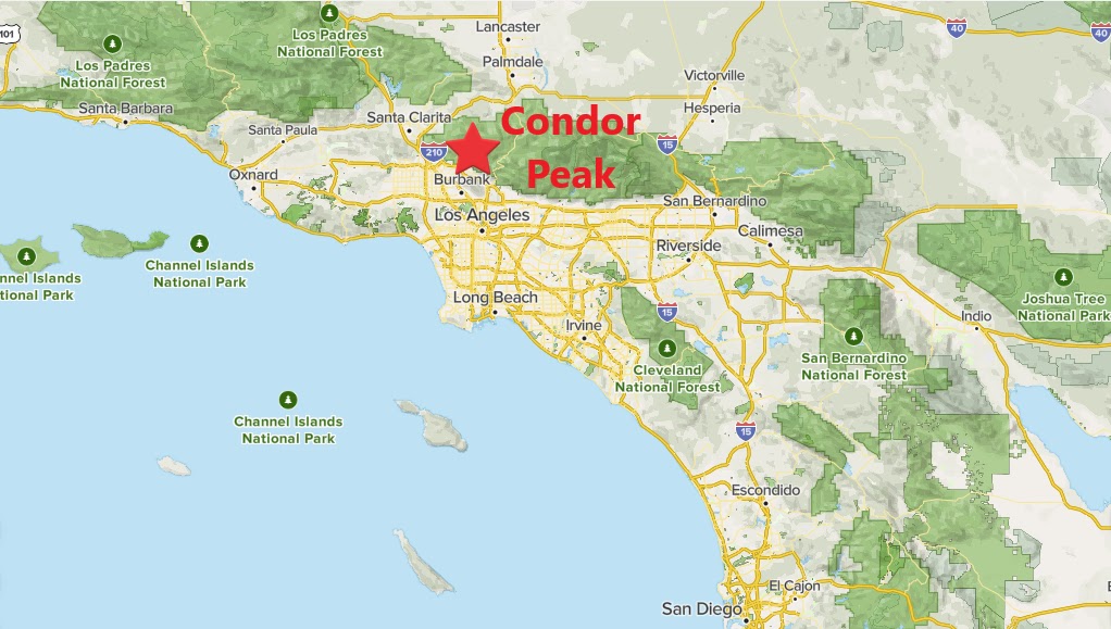
Summary After visiting Iron Mountain #2 the week before, I found myself salivating while being so close to Condor Peak. I had been coveting Condor Peak for a long time, so I was eager to get to it once the next weekend arrived. Despite my eagerness, my first concern was childcare. Once I got that taken care of, I got off to a bit of a late start by starting off at about 10:30AM. Since it was a day before Halloween, the days were getting shorter, so concerns about finishing before dark were a concern in the back of my mind. However, I was focused on getting to the summit.
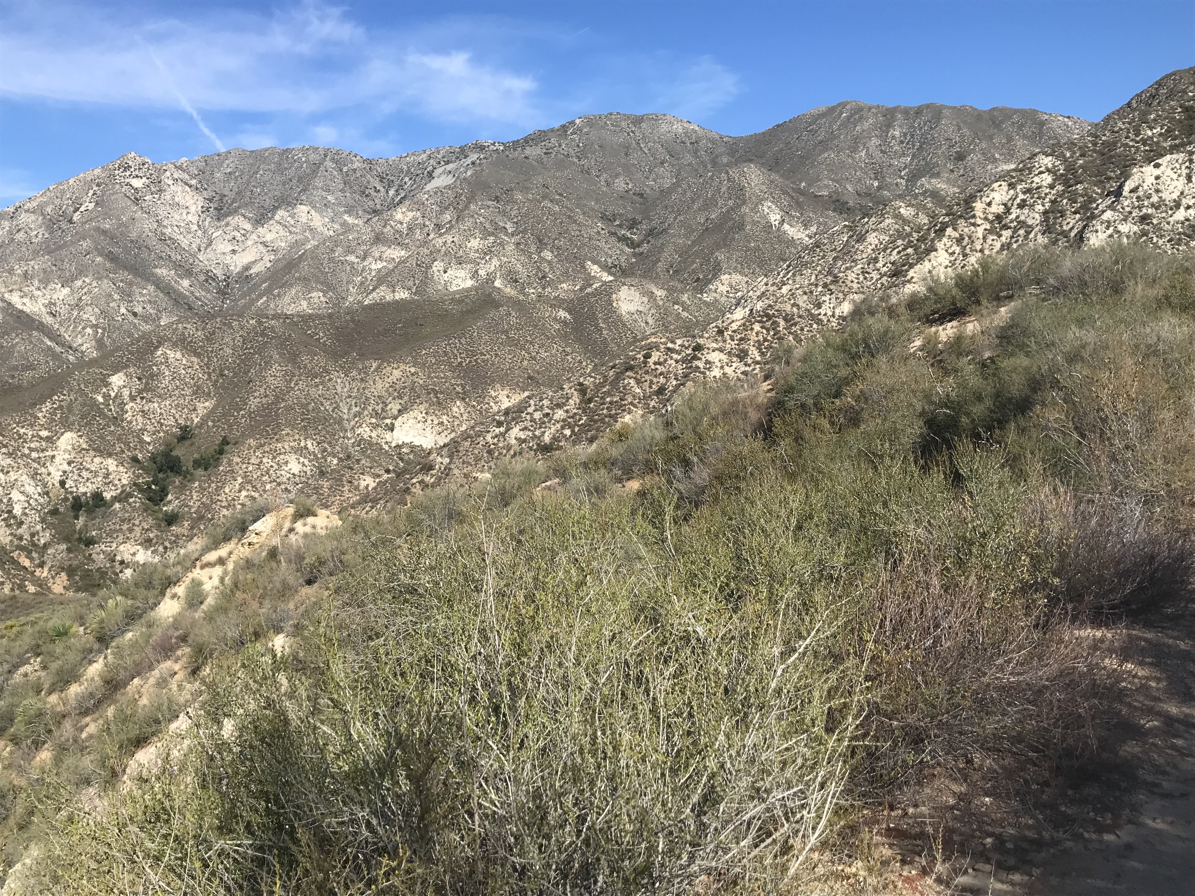
View of the ridge early into the hike.
When starting out, I encountered a hunter hanging out by the trailhead. This was a reminder that it was hunting season, but it was also the only other human I saw on the trail the rest of the day. The use trail I started out on was a shortcut to the Condor Peak Trail, which has a trailhead about 1.5 miles down the road (thereby trimming about 3 miles on the hike). The use trail meets the proper trail quickly, followed by a gradual but long climb to the Fox Mountain / Condor Peak saddle. The trail levels temporarily there before more climbing to come toward Condor Peak.
Condor Peak from the saddle.
With the destination in sight, I felt the excitement while working up the slope. This one was a truly satisfying climb for me, since I had been wanting to do it for years.
Going up the ridge.
So as I arrived at the summit, I enjoyed the moment and the views. This time, I was looking toward Iron Mountain #2 in the views (opposite view from the previous week). I briefly contemplated continuing on to Condor Point, which is one of the other rarely visited peaks in the area, but my late start quickly wiped that thought out.
Approaching the summit.
After some quality summit time, I headed back down. I bypassed Fox Mountain on the way down again, not only due to the lateness of the day, but also because I had already been there in the past. It's a good thing I continued, because daylight faded into darkness by the time I reached the parking area. Made it back just in time!