 |
| Leaving Cow Canyon Saddle. |

 |
| Southern California Map. |
 |
| Driving Map. |
Parking coordinates: 34.2165°N, -117.6893°W.
Hiking Stats:
Summary
 |
| Hiking Map. |
The hike begins at Cow Canyon Saddle, which is just a mile from Mount Baldy Village. It requires the short drive on Glendora Ridge Road to reach the trailhead. The hike starts on a gated forest road and gradually climbs toward Sunset Peak.
To add a little variety to the forest road hike, I took a parallel to the road use trail the rest of the way to the summit. The few moments of boulder scrambling near the top gave it the feel of a more mountaineering type of conquest. The summit has foundational ruins of a fire lookout and a summit sign.
 |
| Rising above the clouds. |
 |
| Approaching the summit. |
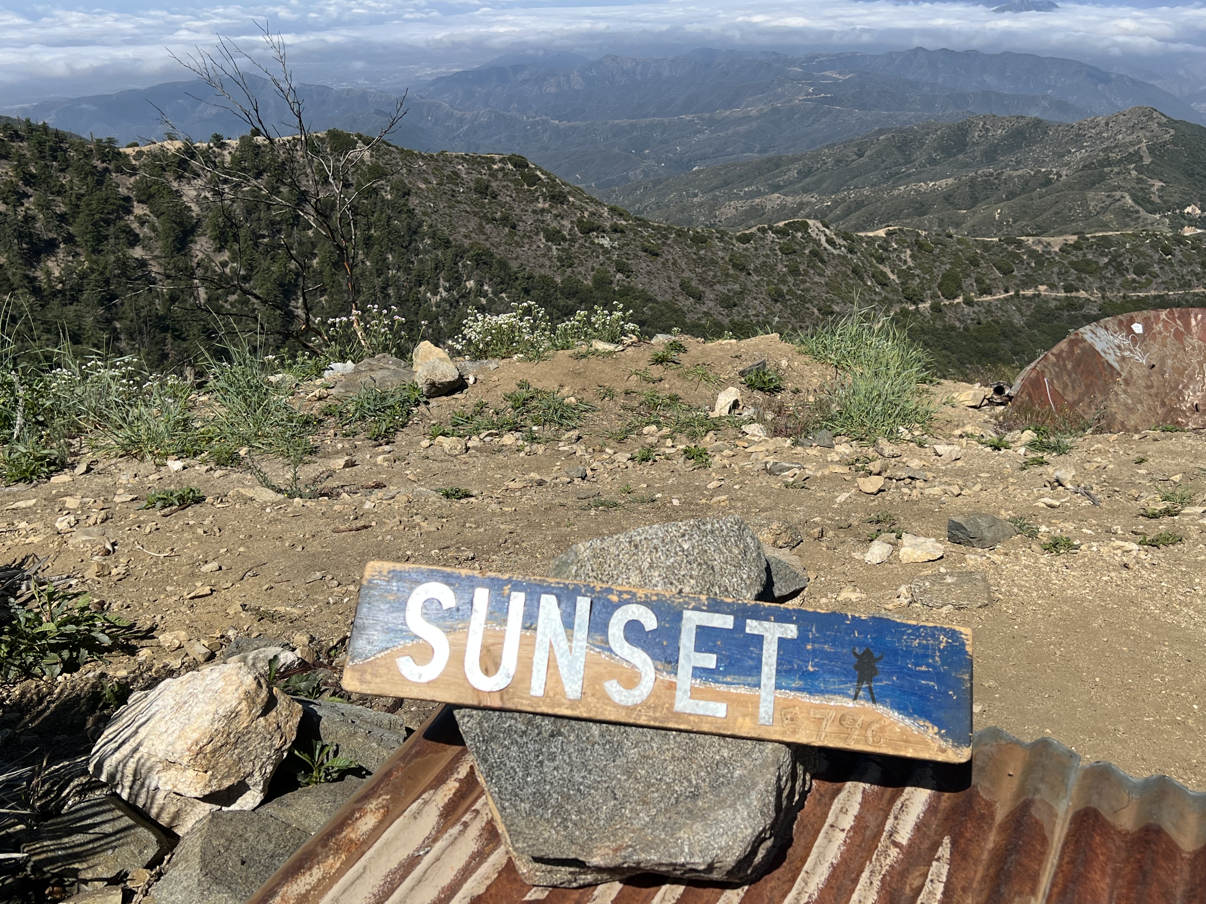 |
| On the summit. |
 |
| Sunset Point summit towers. |
 |
| Memorable trailside views. |
With three summits in the bag, it was a matter of gradual uphill climbing back to Sunset Peak before descending the rest of the way back to the trailhead. This was a nice long outing completed on a fairly cool day.
Video:Simulated Hike:
 |
| Heading up a firebreak to Colver Peak. |
 |
| Colver Peak summit. |


No comments:
Post a Comment