 |
| Lookout Mountain viewed from the PCT. |

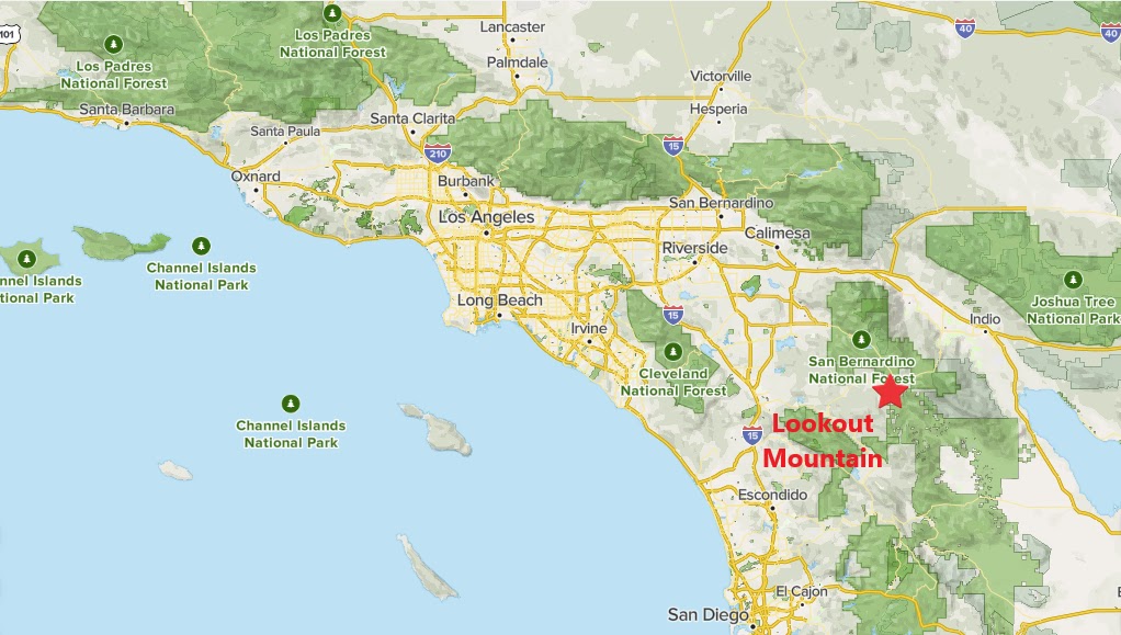 |
| Southern California Map |
 |
| Driving Map |
*Parking is 1 mile east of the Highway 74/371 junction in the PCT parking area.
Trailhead coordinates: 33.56341°N, -116.57622°W.
Peakery Link: Lookout Mountain, 5,590 ft.
Hiking Stats:

 |
| Hiking Map |
Summary:
Near the intersection of Highway 371 and Highway 74 east of Anza, the Pacific Crest Trail crosses Highway 74. From the parking area, I headed south on the PCT. Lookout Mountain is visible from the highway, but it is on private property. In order to gain access to the peak, I needed to get there in a round about way. By going 1.5 miles south on the PCT, it takes me south of the private property line. A use trail leaves the PCT in a gully. The trail is well marked with rock cairns on a rather steep climb toward the top of the mountain.
 |
| Approaching the summit. |
 |
| On the summit. |
Video:
Simulated Hike:


No comments:
Post a Comment