This blog will detail 1,000 video hikes in Southern California. By Southern California, I am drawing a line from San Luis Obispo to the Nevada Border. Anything south of that line will be declared "Southern California". In a way, it is a personal challenge to do so many hikes. Mainly, however, it is my way of showcasing how many hiking opportunities there really are right in our own geographic back yard. As a blog, it serves as a companion piece to my Youtube channel "1,000 Hikes in So Cal". It is also a work in progress, as I don't actually have 1,000 edited videos completed. This will take effort for quite some time before it is declared done. Even then, there will still be more out there. Here's to hiking and all the positive effects it has had on my life...and possibly yours!
Having visited Bailey Canyon more than once over the years, I had developed a yearning to hike the road up to the high peaks. I had hiked it to Monument Peak years ago, and knew that if I were to hike further, the day hike would take me all day.
Peak #1: Monument Peak.
The road is rough, but is also drivable. Though, I was not willing to take my own vehicle up the road. This meant that I would need to be committed to hike nearly 20 miles to cover the ground that I had in mind.
Monument Peak summit plaque.
The historical plaque of Fr. Francisco Garces still sits on the summit like it did on my first visit.
Bailey Peak.
When the day came to carry out the plan, I was ready, willing, and eager. I set out shortly after sunrise and hiked the 5 miles to Monument Peak. It seemed almost unchanged from my visit of two decades previous. Then, as I continued along the road going west, I started covering new territory. I visited the two Bailey Peaks before eventually arriving at Sugarpine Mountain. A short but steep use trail took me to the summit, where I was able to check off my 4th Peak on the day.
Sugarpine Mountain.
With the climbs completed, all I had to do was return down Bailey Canyon. Although mostly downhill, this was no small task, since it was at least another 8 miles (my mileage counter was out of whack and inaccurate, since I was due for an IOS update on my iPhone). With minimal breaks, I managed to finish a few hours before sunset and feeling rather gratified in completing a task that I had plotted out long ago.
While on a holiday weekend, I had the opportunity to venture out to the desert. This was my chance to revisit a place that I had not been to for a few decades (which has been a recurring them of mine, as of late). From just outside of Pioneertown is an area known as Pioneertown Mountains Preserve.
Approaching Chaparrosa Peak.
Within the preserve is Chaparrosa Peak and a hike that loops the preserve. I managed to combine both into a single hike.
The area is a boulder hotbed.
There is ample parking in two separate lots. From the upper lot, I began the clockwise loop. In less than halfway through the loop, a summit use trail breaks off and ascends Chaparrosa Peak. There is nothing much on the summit, but there are some decent desert views and some volcanic rocks.
Summit benchmark.
After the Peak, I returned to the loop and proceeded clockwise. While dropping into the Canyon, the surrounding landscape developed a unique feel. The Canyon floor is overgrown with thick water thriving desert foliage along the creeks.
Passing through the canyon "jungle".
The trail requires no bushwhacking as it cuts right through it, forming arbor tunnels. It hasn't lost it's Lustre over the years., it is still one if my favorite desert hiking options.
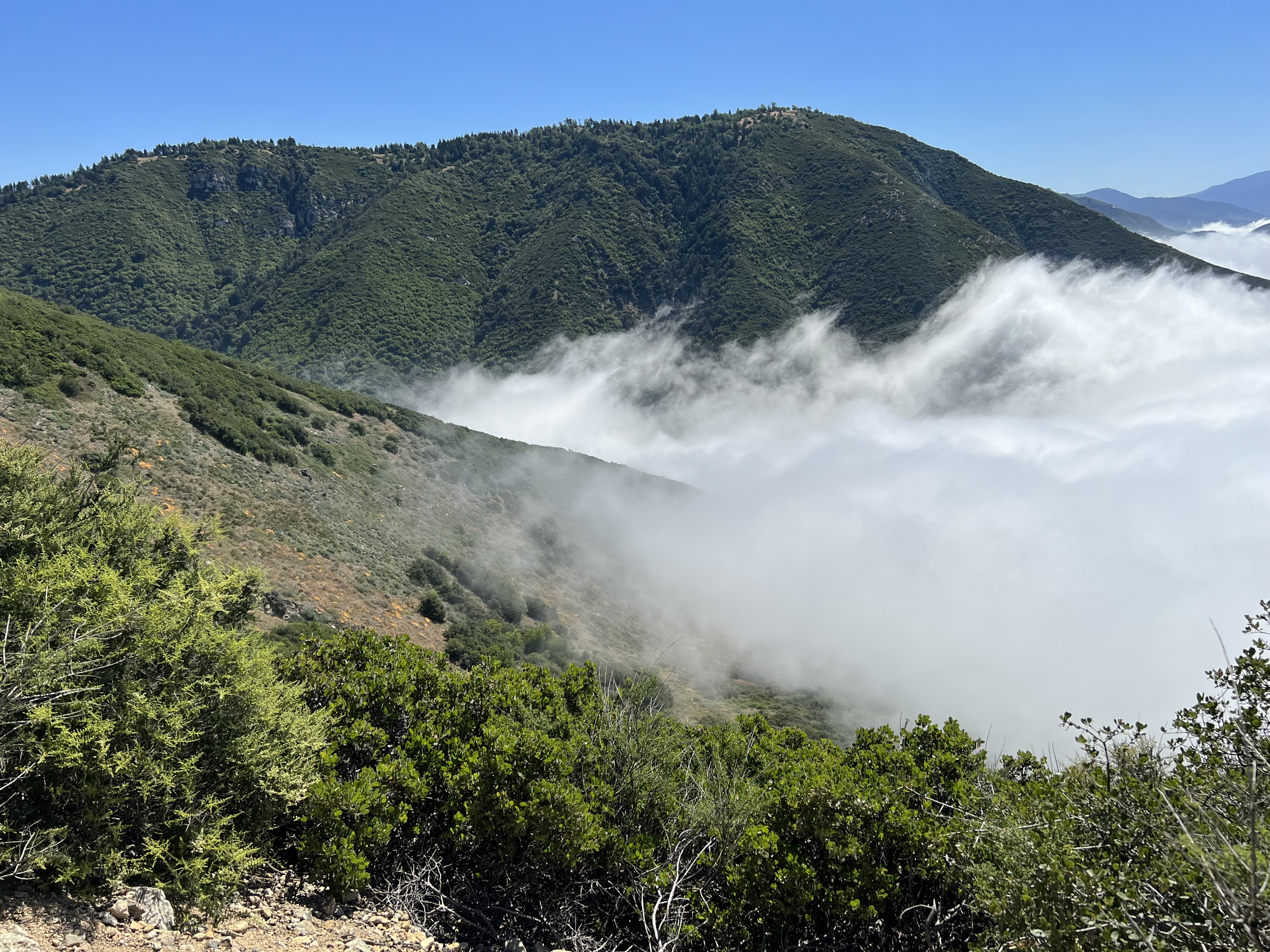
The hike begins at Cow Canyon Saddle, which is just a mile from Mount Baldy Village. It requires the short drive on Glendora Ridge Road to reach the trailhead. The hike starts on a gated forest road and gradually climbs toward Sunset Peak.
Rising above the clouds.
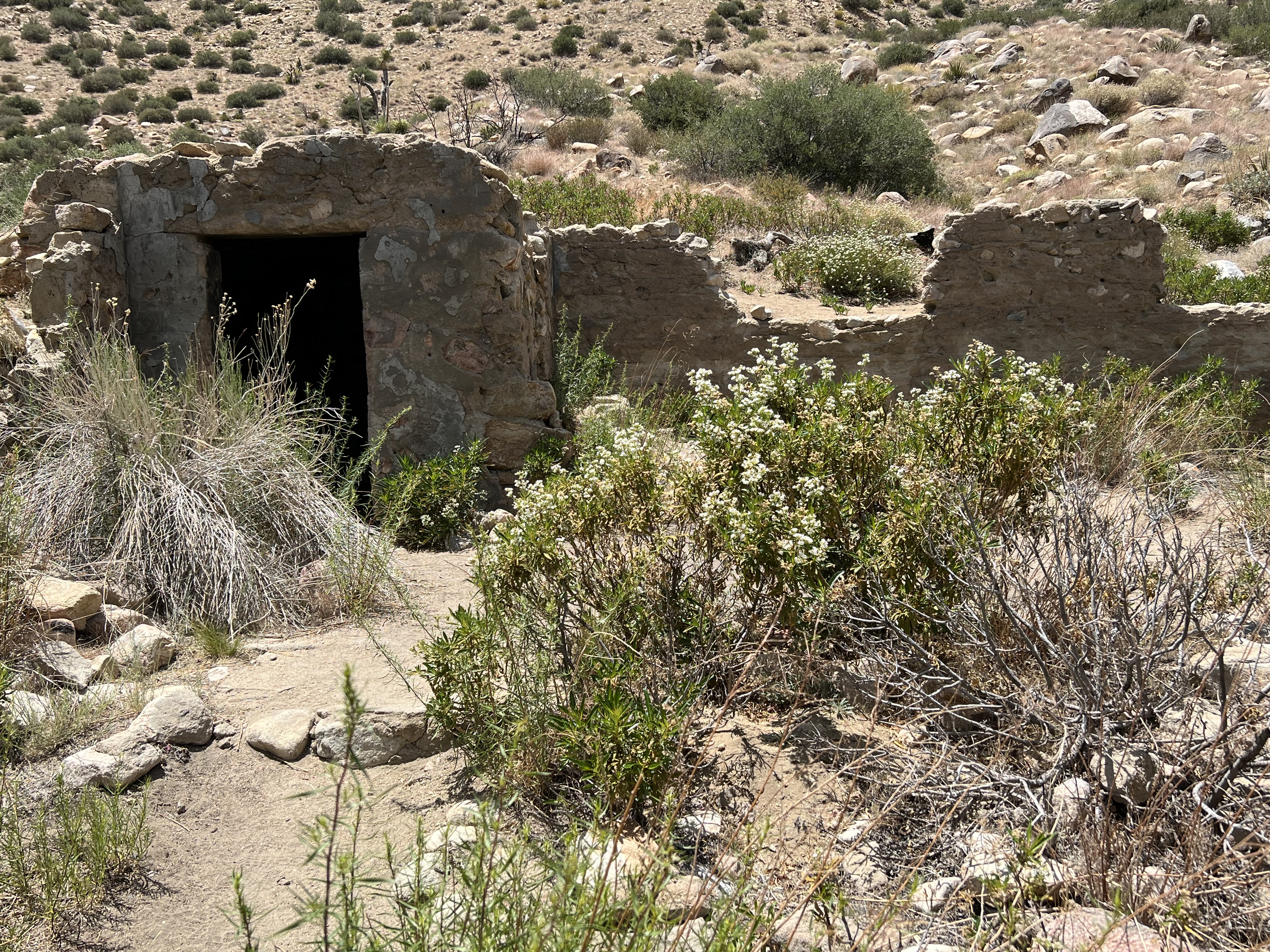
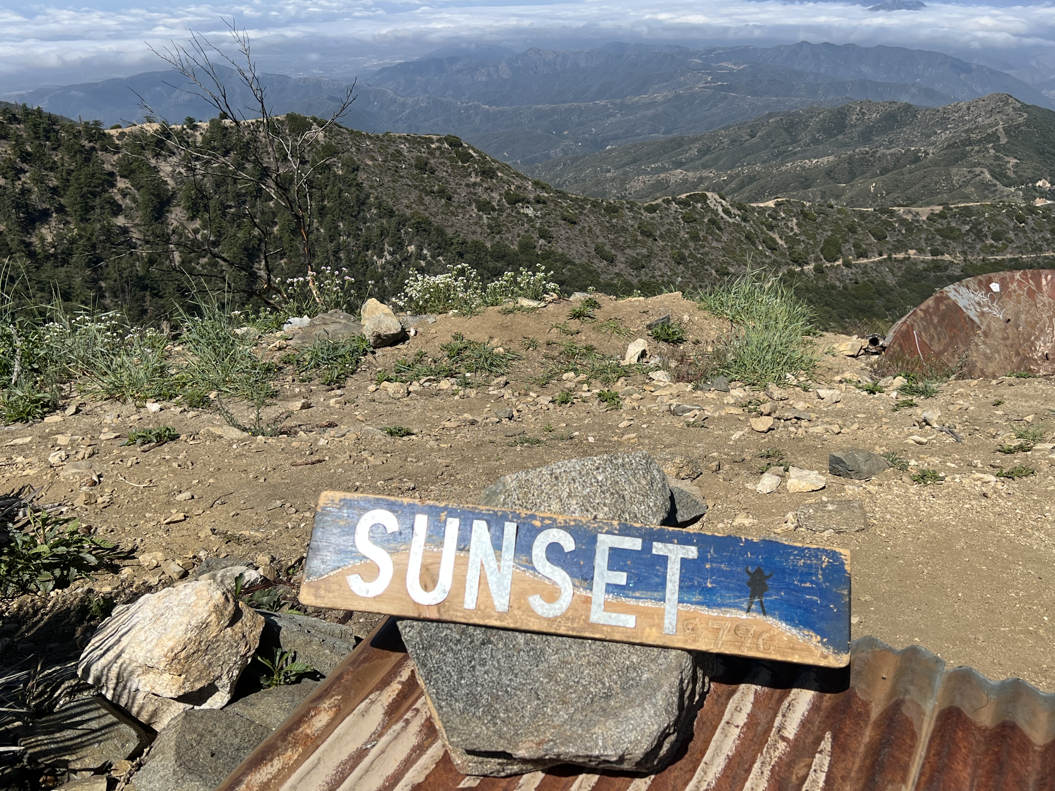
To add a little variety to the forest road hike, I took a parallel to the road use trail the rest of the way to the summit. The few moments of boulder scrambling near the top gave it the feel of a more mountaineering type of conquest. The summit has foundational ruins of a fire lookout and a summit sign.
Approaching the summit.
On the summit.
When I was ready to move on, I continued forward toward the lower summits to the South. The forest road continues for a few miles to Colver Peak and Sunset Point. Sunset Point was further away, but I temporarily bypassed Colver to reach it.
Sunset Point summit towers.
Communication towers and buildings sit on the summit. On the way back, I climbed a steep firebreak to reach the summit of Colver Peak.
Memorable trailside views.
With three summits in the bag, it was a matter of gradual uphill climbing back to Sunset Peak before descending the rest of the way back to the trailhead. This was a nice long outing completed on a fairly cool day.
Near the end of Mount Baldy Road is Manker Flats. This flat and straight section of road makes for a convenient parking area for both San Antonio Falls and for climbers of Mt Baldy (Mount San Antonio). If visiting San Antonio Falls (like I was), the lower part of the hike is shared with Mount Baldy climbers. The hike is up a paved road for less than a mile. A use trail leaves the road and goes the rest of the way to the Falls.
At the base of the falls.
The Falls have multiple levels, with the bottom drop only visible from it's base. With waterfalls being generally rare in Southern California, this one puts on quite a show. Chances are you won't be there alone, though. I certainly wasn't. I was able to have a few moments of alone time with the Falls, though, by shooting a quick video and taking pictures before the next wave of visitors arrived.