This blog will detail 1,000 video hikes in Southern California. By Southern California, I am drawing a line from San Luis Obispo to the Nevada Border. Anything south of that line will be declared "Southern California". In a way, it is a personal challenge to do so many hikes. Mainly, however, it is my way of showcasing how many hiking opportunities there really are right in our own geographic back yard. As a blog, it serves as a companion piece to my Youtube channel "1,000 Hikes in So Cal". It is also a work in progress, as I don't actually have 1,000 edited videos completed. This will take effort for quite some time before it is declared done. Even then, there will still be more out there. Here's to hiking and all the positive effects it has had on my life...and possibly yours!
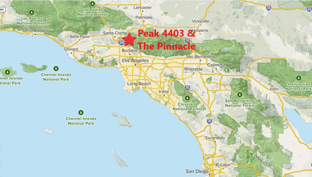
From Kagel Mountain Trailhead, pick up the trail on the north side of the parking area. This is Forest Route 4N35. The road wraps around the lower slopes of The Pinnacle to the west and then to its north slope. In about 2.8 miles, the road arrives at Highline Saddle. At this point, I left the road and picked up a use trail which climbs steeply toward Peak 4403.
On the summit looking toward Mendenhall Peak.
Although there isn't much on its summit, it is a nice vantage point in between Mendenhall Peak and The Pinnacle. If Mendenhall Peak was on my list for the day, it would've been a quick scamper along the ridge to reach it. However, The Pinnacle was the second peak of choice for the day.
Looking back at Peak 4403 on the way to The Pinnacle.
To head toward The Pinnacle, I had to drop straight back down to Highline Saddle. Once there, I continued to the opposite side of the ridge and began ascending to The Pinnacle.
Heading along the ridge to The Pinnacle.
The ridge is pretty well defined despite the undulations. Just below The Pinnacle, the ridge line makes a very steep rise before leveling out near the top. At the high point, the peak is marked. Summit views are just as good as they are from Peak 4403.
Approaching The Pinnacle.
The parking area is nearly a straight drop from there, however, there is no good use trail leading down. Instead of simply going for it, I retreated to a point halfway back to Highline Saddle and cut down the slope at a point where the ridge crossed near FR 4N35. After the short bushwhack, it was a quick return to the parking area. If not opting for the bushwhack, the return to Highline Saddle and walking the road back would add an additional mile.


No comments:
Post a Comment