 |
| Gazing up the side of Harrison Mountain. |

 |
| Southern California Map |
 |
| Driving Map Hiking Stats: |
*Parking for Harrison Mountain is on Highway 330, 7.2 miles north of the junction of the 210 Freeway and Highway 330.
Trailhead parking coordinates: 34.17682°N, -117.15399°W.
Peakery Link: Harrison Mountain, 4,743 ft.
Summary
Finding the trailhead is rather straightforward. I drove Highway 330 to a large pullout at the intersection with Old City Creek Road. From there, the hike began by walking down the dirt Old City Creek Road. After walking for about a tenth of a mile, I veered off the road on a use trail that went in the direction of Harrison Mountain. Beyond that point, I kept expecting the trail to disappear somewhere on the lower slopes, but the defined pathway kept going. The trail gains the ridge and passes through some overgrown sections before reaching a steep climbing section that tops out at the summit. There are some tremendous views up there, made that much more enjoyable by visiting on a cool and comfortable day. I signed the register and continued shooting video on the way down. The visit here turned out to be one of my better video efforts early in the year.
 |
| On the summit. |
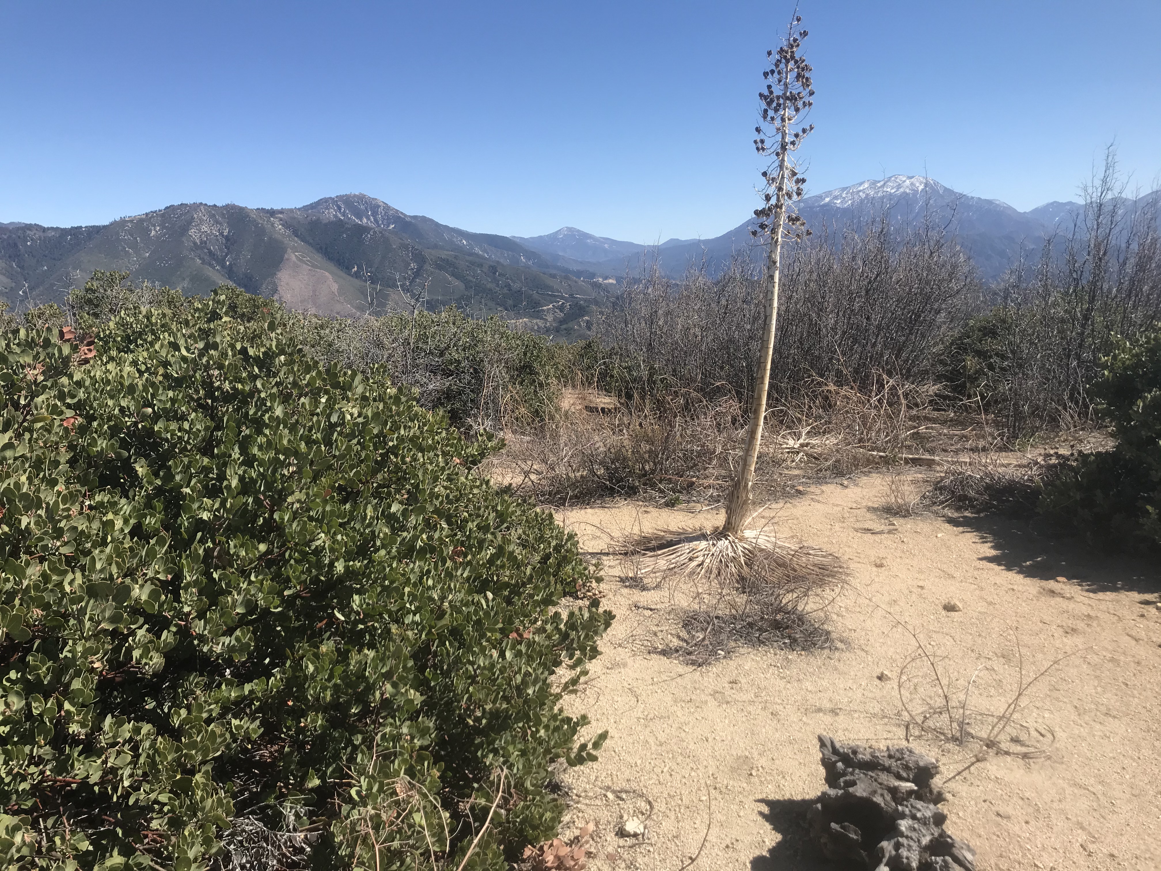
On the way down, I took some time overlooking McKinley Mountain, which is across the highway from Harrison Mountain. McKinley was climbed a week later, since it was seared in my brain on the way down. I found descending the mountain to be more difficult than climbing it, since there are some barren slopes with loose rock.
Also, at the base of the mountain, live target practice was taking place. I had to really make my presence known to everyone once I reached the bottom in order to avoid being shot. Once I got past them, though, the hike was suddenly over, and the conquest of Harrison Mountain was final!
 |
| Summit register. |
 |
| Looking across to McKinley Mountain. |


No comments:
Post a Comment