This blog will detail 1,000 video hikes in Southern California. By Southern California, I am drawing a line from San Luis Obispo to the Nevada Border. Anything south of that line will be declared "Southern California". In a way, it is a personal challenge to do so many hikes. Mainly, however, it is my way of showcasing how many hiking opportunities there really are right in our own geographic back yard. As a blog, it serves as a companion piece to my Youtube channel "1,000 Hikes in So Cal". It is also a work in progress, as I don't actually have 1,000 edited videos completed. This will take effort for quite some time before it is declared done. Even then, there will still be more out there. Here's to hiking and all the positive effects it has had on my life...and possibly yours!
Summary New Year's Eve gave me my last chance to get in a hike before the end of the year. Although the weather wasn't ideal, I made Los Pinos Peak my chosen hike. There is very little shade on this hike, so the cloud cover certainly kept the heat away. The hike goes up Main Divide Road to Munhall Saddle. Along the way, I also summited one lower peak and Vicker Benchmark before reaching Munhall Saddle.
On the lower summit looking toward the ridge.
At Munhall Saddle, the Los Pinos Trail is accessible. On the way up the Los Pinos Trail I entered the clouds and made a foggy ascent of the ridge. I took photos of the summit, but had no view. That was the only drawback to an otherwise completely satisfying hike. Fog is the exception to the rule, though. Normally there are blue skies and warm weather in this low elevation mountain range.
On the summit of Vicker Benchmark.
I returned the way I came and descended through the clouds. I still had time to go to a second location if I wanted to, but this was a fitting ending to a hiking year, as I emerged from the clouds to conclude the experience.
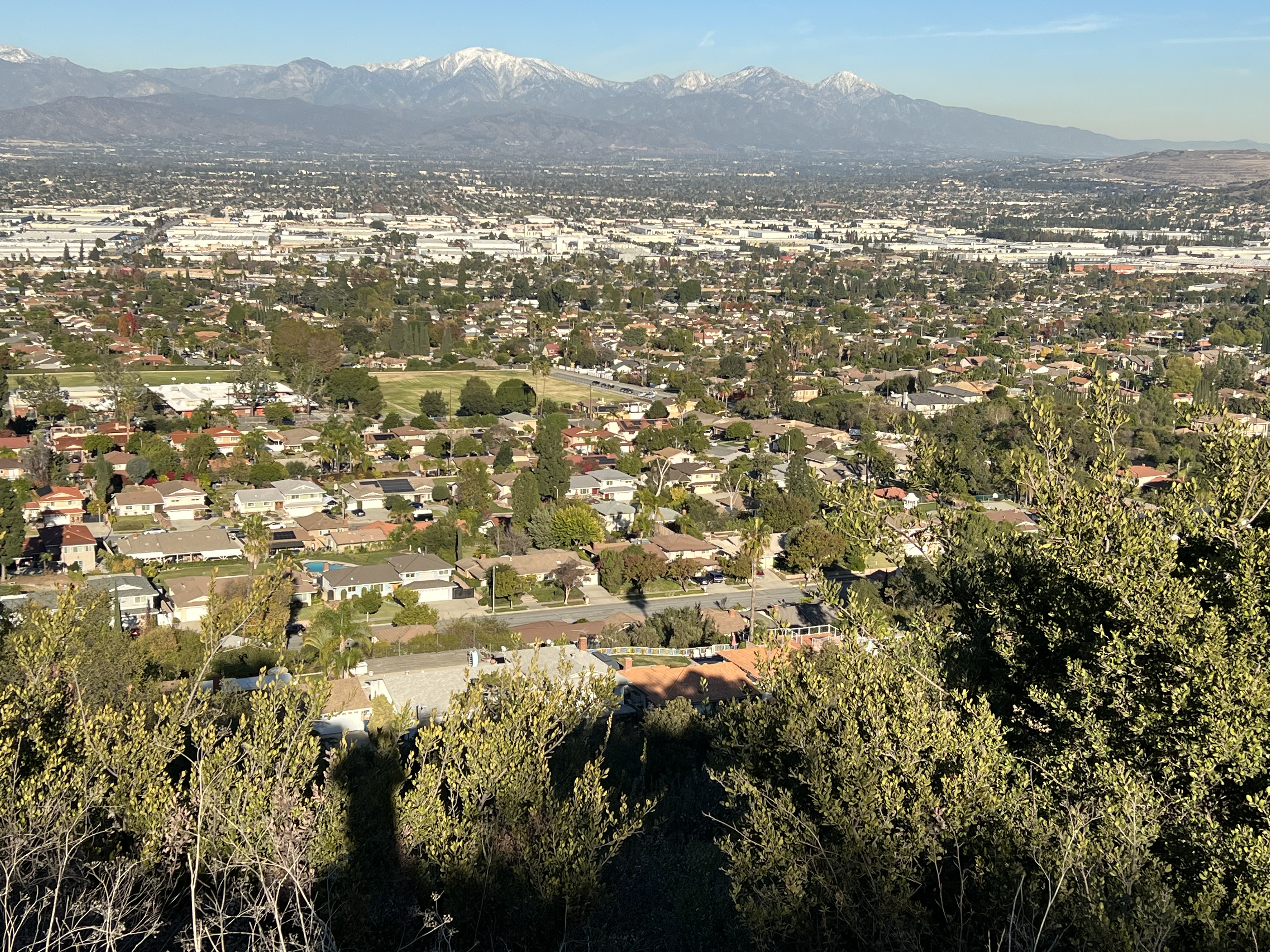
Summary I was in a mood to go somewhere I had never been. Since there are several peaks that I had yet to visit, I picked one that was far away from me. I was drawn to Warm Springs Mountain. When searching online, I found little to no information about this mountain. When searching it on Google Maps, I could see a clear route that leads to the summit. This was really all that I needed to know, so I made the drive to it.
Approaching Warm Springs Mountain.
Where Lake Hughes Rd meets Forest Road 6N32. the hike begins. The whole hike is along wide forest roads on the way to the summit. However, since the starting point is far away from a population center, this hike is rarely visited. I saw nobody else on my Saturday visit. This is another perfect example of finding solitude in nature without leaving Southern California.
On the summit.
After a few miles, the hike continues on Forest Road 7N13. This road bends to the left and eventually leads to the peak. The summit has a lookout tower and a benchmark. The peak overlooks the parking area on Lake Hughes Road, but it would be quite a bushwhack to head straight down.
The summit lookout tower.
I returned the way I came, for a gradual downhill hike back down the forest roads. Outside of the trees near the trailhead, there is no shade on this hike, so visiting on a cool day was a good call.
Summary The Coyote-Native Oak Loop is a hike that I generally do once a year. It is somewhat local and convenient for me to visit. I get attracted to the area every December for some unknown reason other than it feels like its the right time of year when I visit. Since Nike Hill is accessible after hiking a short section of the Schabarum Trail, I sometimes throw that in too.
Pleasant strolling.
Whether this is the best oak grove in the San Gabriel Valley is debatable. Even if it isn't, this is a great place to be. The area is just outside of a community of homes, yet there is a great deal of solitude when slipping into the groves on the slopes. Most of the climbing on the hike happens when going up the Coyote Trail. Passing under the shade of the scenic oak trees fills me with a great deal of satisfaction. The hike levels out on the Schabarum Trail, where I often continue toward Nike Hill.
A recreated check point on Nike Hill.
Nike Hill is a former Cold War missile site serving the San Gabriel Valley. Now it is a little known historical site, since it was undoubtedly a top secret site in its day. I used it as a turnaround point where I returned on the Schabarum Trail to the Native Oak Trail.
Hiking the Native Oak Trail.
The Native Oak Trail re-emerges into the oak trees and offers some of the most scenic portions of the hike. The semi-loop concludes when returning to the Ahwingna Trail and the trailhead.
Summary I had been dreading this particular hike, especially when there are so many easier hikes still to do. Voluntarily doing a hike of 16+ miles is certainly not something that is normally done on a relaxing weekend hike. However, when getting ready for the day, I was determined to do something a little more challenging than usual. I got there early and got myself going without giving myself time to talk myself out of it.
Much of the hike had little shade.
The hike climbs gradually on a clear pathway. I concentrated on my progress and took very few photos. At about 7 miles in, the hike levels out a bit and passes through the heavily shaded forest. I had to keep an eye open for the summit use trail which branches off from the main trail. The summit has a benchmark and a summit block. I pulled myself up on the block just to make it official. The summit is wide and does not have great views from the actual high point. However, the feeling I felt by actually reaching the top was worth the effort.
On the summit.
8 miles is a long way to hike back down, but at least it was downhill. I maintained a steady pace and made it back before it got dark. I saw 3 people on the trail the entire day.
Summit benchmark.
This is an example of a hike that I will probably never repeat, simply because it isn't the easiest thing to do with my time, especially as I get older and that there are so many other hikes that I have yet to do. Otherwise, I highly recommend this one to fellow peak climbers!
Summary Since this hike offers three destinations in one outing, the entire hike held my interest as I plotted my progress along the way. Camel Rock was right near the starting point, but I made sure to save it for last. I had visited Pinyon Ridge once before, so I made sure to get to Wilson Benchmark first. Then, if I was still up for it, then I would make a return visit to Pinyon Ridge. This meant that I would be hiking 6 miles before making my first stop at Wilson Benchmark.
A trailside rock monster.
The hike starts on a well defined dirt road. It eventually devolves into a single track trail. By the time it reaches Wilson Benchmark, it gets reduced to use trail and cross-country boulder scrambling. A pole, a coffee can register, and benchmark sits on the summit of Wilson Benchmark. When leaving the summit, I found a use trail that connected with the nearby trail that I took on the desert floor. In a way, I discovered the actual summit trail that avoids the cross-country scrambling. Better late than never. At least it made for a non-bushwhacking descent.
The summit of Wilson Benchmark.
While heading back and reaching the junction with Pinyon Ridge, I decided to go for it. It is a short climb up the ridge to reach the high point of Pinyon Ridge. There is a large boulder on the summit. I didn't actually stand on the boulder, but I reached my hand up to the top (It wasn't worth risking my health scaling a boulder in the desert when nobody was around). After making quick work of Pinyon Ridge, I headed down the opposite slope and worked my way back to the trail (I did that instead of backtracking to the start of the ridge).
Wilson Benchmark.
It is a long hike back to the start from there, but it is generally flat. Before reaching the parking area, I veered off the trail to approach Camel Rock. When viewing it from a certain angle, it does resemble a camel. However, when approaching it, I was more interested in finding a way up its side. After encircling it, I was easily able to work may way up to the top to claim my third summit of the hike. From there, I descended and quickly wrapped up the hike.